Alberta Legal Land Location to Map Coordinates Databases – GIS4AG

We have compiled CSV tables that contain the land location descriptions and lat/lon GPS map coordinates for each section, quarter section, and half section centroid point, ready for deployment in your application. Purchase and instantly download your CSV land location database files for the Canadian Prairies.
Get instant access to meticulously compiled CSV tables featuring lat/lon coordinates for every section, quarter section, and half section in Alberta—ideal for developers needing to geo-code legal land locations in their applications.
What is this product?
We have compiled CSV tables that contain the land location descriptions and lat/lon map coordinates for each point, ready for deployment in your application
What will I receive?
You'll receive CSV files formatted exactly the same as the sample files (downloadable from links below) for the following Provinces:
Alberta
Immediately after you complete the checkout process, your files will be available for download from either the checkout page or from the My Account area.
Please download the sample data below and confirm this is what you require prior to purchasing as we can't offer refunds on downloadable products.
Who Is This Product For?
Anyone that is developing an application where you need to geo-code legal land locations (e.g. sections or quarter sections) into map coordinates.
What's Included in the Data?
We went to great lengths to compile data that fits the needs of a wide variety of applications. The resulting databases are the results of hundreds of hours of GIS processing to generate them!
Data you'll receive:
Centroid Coordinates for every Section
Centroid Coordinates for every Quarter Section
Centroid Coordinates for every half section (south half, east half, etc)
Various data columns to fit with your query formats
Each land location also tagged with RM or County (this isn’t in the sample data but is in the purchased products)
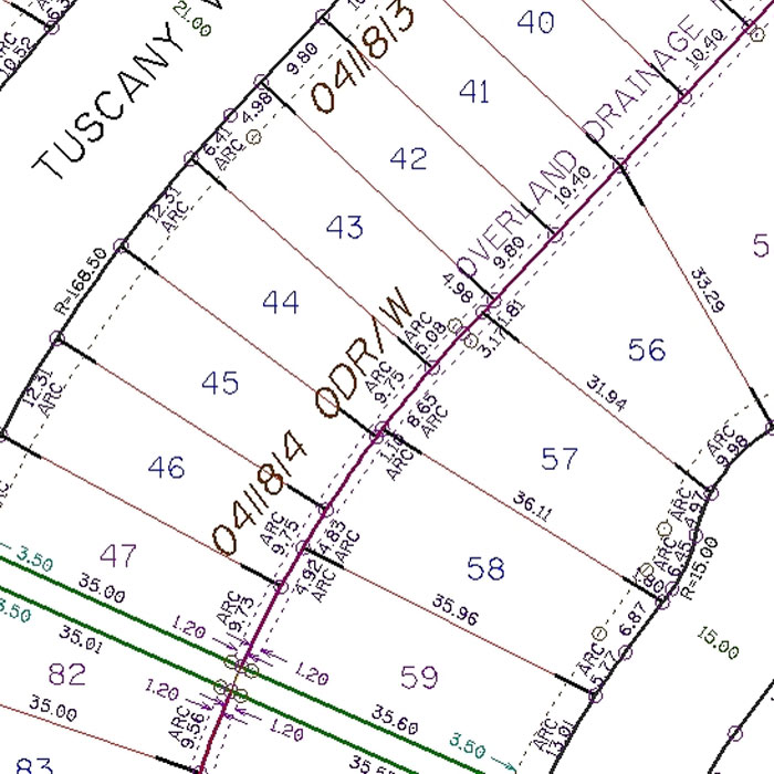
Understanding the Naming Conventions Used
We have used the following prefixes to identify different locations within a section of land:
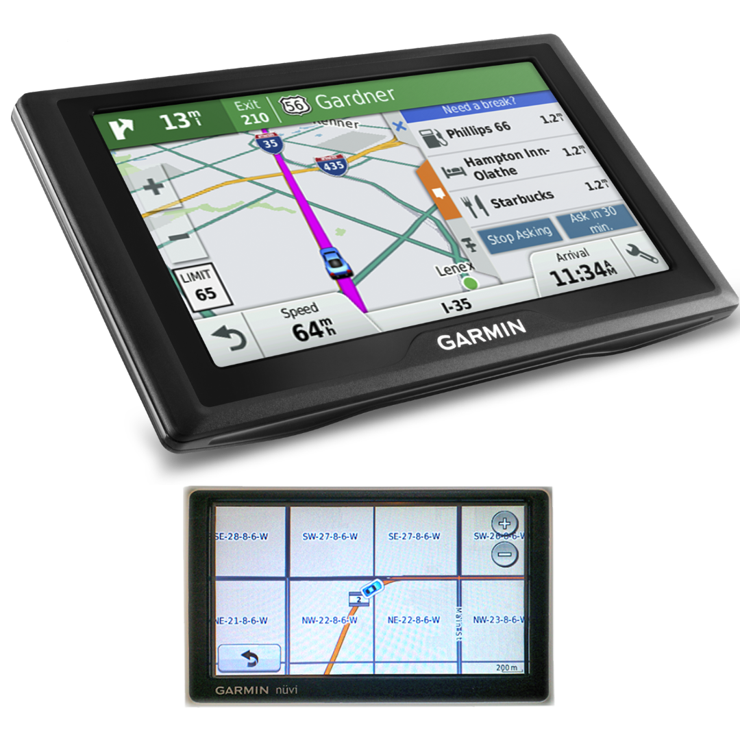
No Prefix in CSV data = Section Centre (as shown by SEC in image below)
NW = Centre of NW Quarter
SW = Centre of SW Quarter
NE = Centre of NE Quarter
NW = Centre of NW Quarter
NH = Centre of Northern Half Section
EH = Centre of Eastern Half Section
SH = Centre of Southern Half Section
WH = Centre of Western Half Section
Download Sample Data
Alberta Sample Data
What It Doesn't Do
Please download and verify that the sample data are suitable for your needs as the paid data use the same format (the only difference being that the paid data also have an extra column we added that tells you what RM or Country the location is within).
What Can I Do With The Data?
Here's the EULA.
Basically, you can use it in any applications where the databases won't be available to the end user in their original form. And you can't re-sell the data.

Regrid Nationwide Land Parcel Data & Location Context

Regrid Nationwide Land Parcel Data & Location Context

CONVERTING YOUR LAND LOCATION TO GPS COORDINATES If you're in
Legal Survey Fabric
Altalis - Map
What is this product?, We've compiled custom Google Earth overlays in .kmz format that add a layer to Google Earth that shows you the quarter

Google Earth Municipality Qtr Section Overlays ALBERTA ONLY
Regrid Nationwide Land Parcel Data & Location Context
Regrid Nationwide Land Parcel Data & Location Context
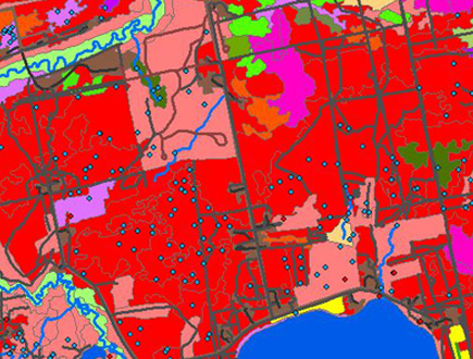
ABMI - Photoplot Land Cover Data - Training & Validation
Your Source for GIS Data & Map Layers plus Garmin Quarter Section

Regrid Nationwide Land Parcel Data & Location Context
Alberta Legal Land Location to Map Coordinates Databases – GIS4AG
Altalis - Map

Regrid Nationwide Land Parcel Data & Location Context